by Jess Jackson | Apr 14, 2025
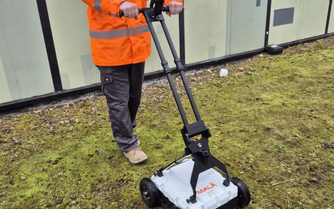
Borehole Clearance & Utility Survey, Birmingham GPR / PAS 128 Utility Surveys Offers detailed, accurate mapping of underground utilities, crucial for efficient planning and preventing damages in construction and excavation projects. Learn More Written by J....
by Jess Jackson | Apr 8, 2025
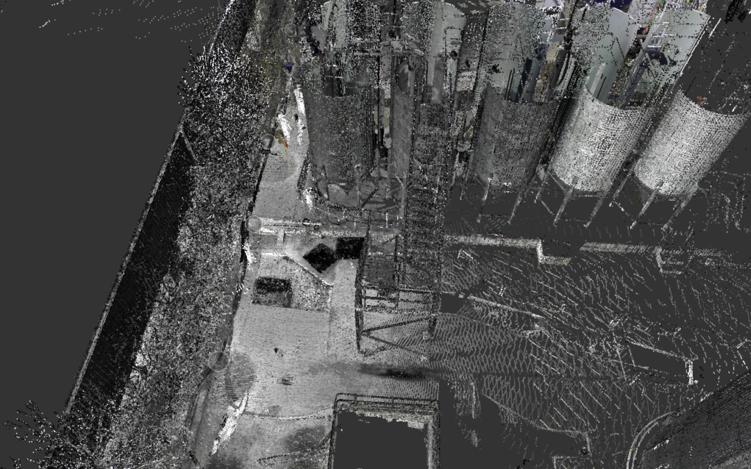
Oadby, Leicester Laser Scanning 3D Laser Scanning Point Cloud Surveys Your Land and Buildings can be rapidly surveyed using 3D laser Scanners. This will provide an accurate existing or as-built 3D point cloud record of your land and buildings. Learn More Written by J....
by Jess Jackson | Apr 2, 2025
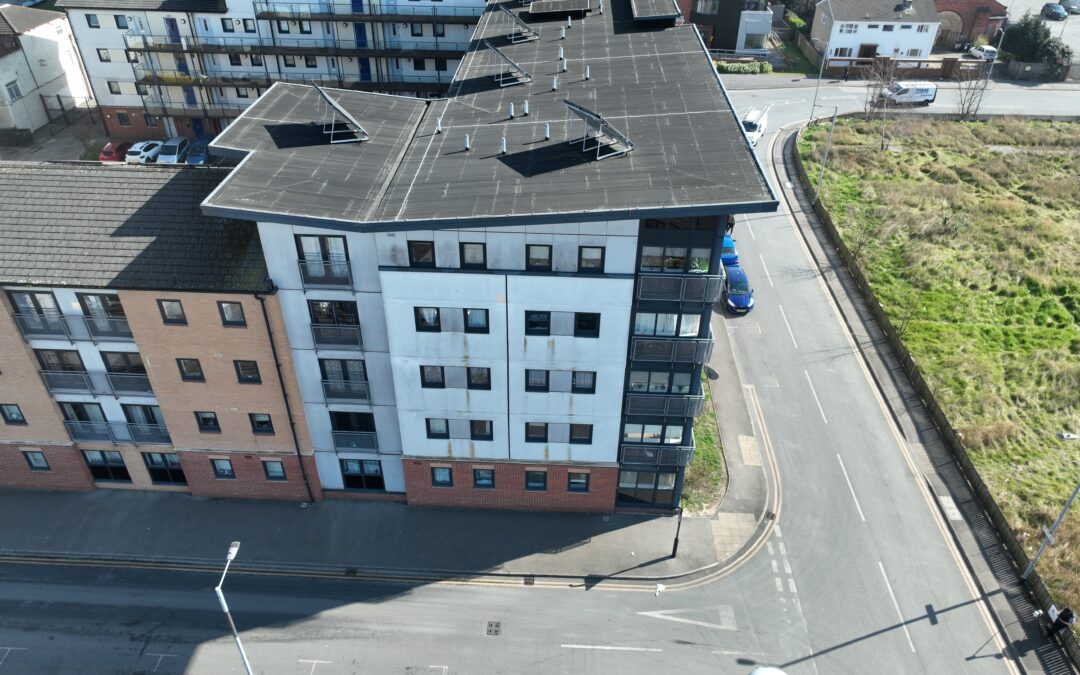
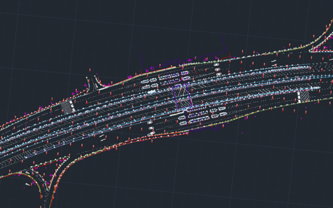
Spring Street, Hull Point Cloud Survey Utilising Drone Technology Aerial Drone Surveys If you need a large area of land surveying rapidly, or struggle to access it. Then an Aerial Drone Survey is your best option. Learn More 3D Laser Scanning Point Cloud Surveys Your...
by Jess Jackson | Mar 24, 2025
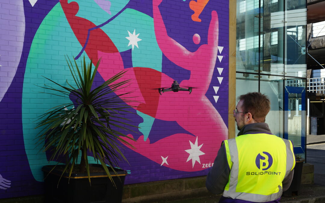
Chapel Street Drone Survey, Derby Aerial Drone Surveys If you need a large area of land surveying rapidly, or struggle to access it. Then an Aerial Drone Survey is your best option. Learn More Written by J. Jackson | Published: 24th March 2025 In the fast-paced world...
by Jess Jackson | Sep 25, 2024
Topographical Survey in Yorkshire | Toll Booths Topographical Surveys If you are looking to plan a development on your land, then a Topographical Survey or Land Survey is essential to inform your design and reduce errors later down the line. Learn More Written by F....
