Derby Surveys
Explore some of our Derby projects!
Here at SolidPoint, we are dedicated to providing your project with innovation and value.
We provide accurate, reliable land & building surveying services across Derbyshire for residential, commercial, and industrial properties.
Derby Case Studies:
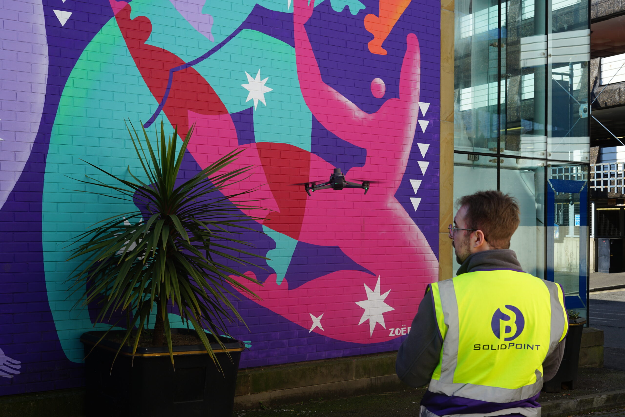
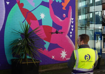
Chapel Street Drone Survey
Discover the benefits of drone surveys for building inspections. Learn how they identify structural damage, reduce costs, and more!
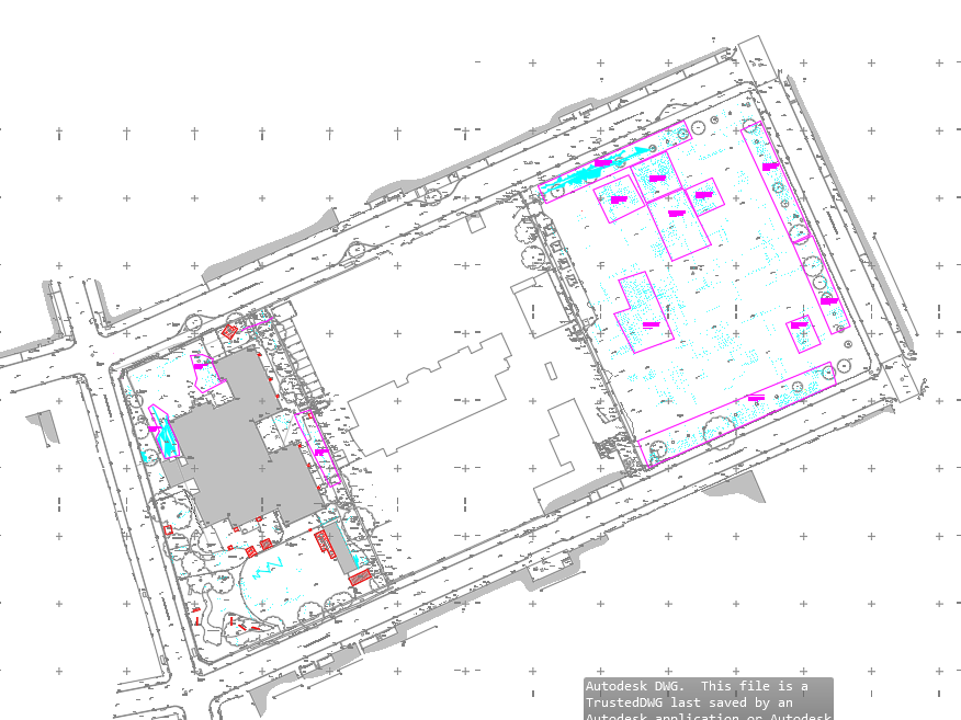
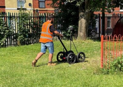
Buried Obstructions Survey – Pear Tree School
Our findings from this survey will allow our client to plan around any underground utilities and gather accurate costings for working around them.
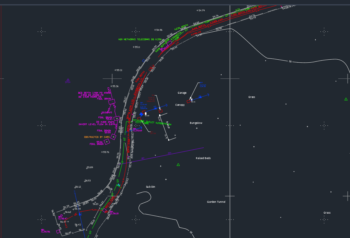
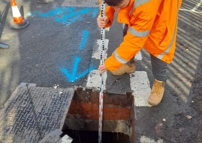
PAS128 Utility Survey – Becket Primary School
Becket Primary School contacted our team to complete a PAS 128 compliant utility survey and a topographical survey so they could add new entrances to the school.
The team were required to survey the areas near the existing school gates and the areas near the school field, as well as the pavements surrounding the school.
Browse Our Services:
All of our services are tailored to you, to ensure that we add innovation and value to your project!
3D Laser Scanning
Point Cloud Surveys
Your Land and Buildings can be rapidly surveyed using 3D laser Scanners. This will provide an accurate existing or as-built 3D point cloud record of your land and buildings.
Aerial Drone Surveys
If you need a large area of land surveying rapidly, or struggle to access it. Then an Aerial Drone Survey is your best option. Provided as a 3D model or simple images and video.
Measured Building Surveys
If you are planning a refurb, extension or just simply re-jigging the space you have, then you’ll need an accurate and reliable measured building survey to help you plan.
Topographical Surveys
If you are looking to plan a development on your land, then a Topographical Survey or Land Survey is essential to inform your design and reduce errors later down the line.
GPR / PAS 128 Utility Surveys
Offers detailed, accurate mapping of underground utilities, crucial for efficient planning and preventing damages in construction and excavation projects.
CCTV Surveys
This method of surveying underground drains and pipelines helps identify blockages, damage, and structural issues, ensuring efficient maintenance and preventing costly repairs.
BIM
Building Information Modelling
Your Land and Buildings can be rapidly surveyed using 3D laser Scanners. This will provide an accurate existing or as-built 3D point cloud record of your land and buildings.
Revit Surveys
If you need your Measured Surveys in a Revit format, then we can help build this from our own point cloud data, or from 3rd party 2D Drawings.
360° Tours
Provide a highly immersive and realistic experience of a space, which can be used for marketing or visualisation purposes, showcase properties, and more.
Stay updated with us:
How Can SolidPoint Help Your Project?
At SolidPoint, we are passionate about providing accurate and efficiently collected data for our clients and have worked on numerous projects across the UK. If you are looking to commission a survey in your next project, please don’t hesitate to Get in touch with a member of our friendly team to discuss your requirements and get a free quote.
Alternatively, you can call us on 01332 898350 or email us at projects@solidpoint.co.uk for more information on our services. We look forward to hearing from you!
Give us a call on
Request a Free Quote




Trusted Suppliers for:
