Surveys in Leicester and Leicestershire
Explore some of our Leicester projects!
A planning submission held up for want of a topo. An architect drawing over 30-year-old plans. A groundworks gang about to dig with no idea where the cables run. These are the problems we fix for clients across Leicester and the county, with survey data that's right first time and arrives when your programme needs it.
From our Derby base, Leicester is well within our everyday patch, so there's no travel surcharge.
Request a fixed quote · 01332 898350
Who we work with in Leicester
| You are… | Your problem | What we give you |
|---|---|---|
| Architect / designer | The existing drawings can't be trusted | A measured survey or Revit model of what's really there |
| Developer | You need to know the site's constraints before you buy or design | Topo, boundary and utility data from one team |
| Main / M&E contractor | Coordination, and the risk of hitting buried services | Point clouds and PAS 128 utility mapping |
| Estates / FM manager | Plans for campuses and buildings that are years out of date | Updated CAD or BIM for the whole estate |
| Homeowner | An extension, a boundary question or a planning requirement | A clear boundary or level survey |
Services available in Leicester
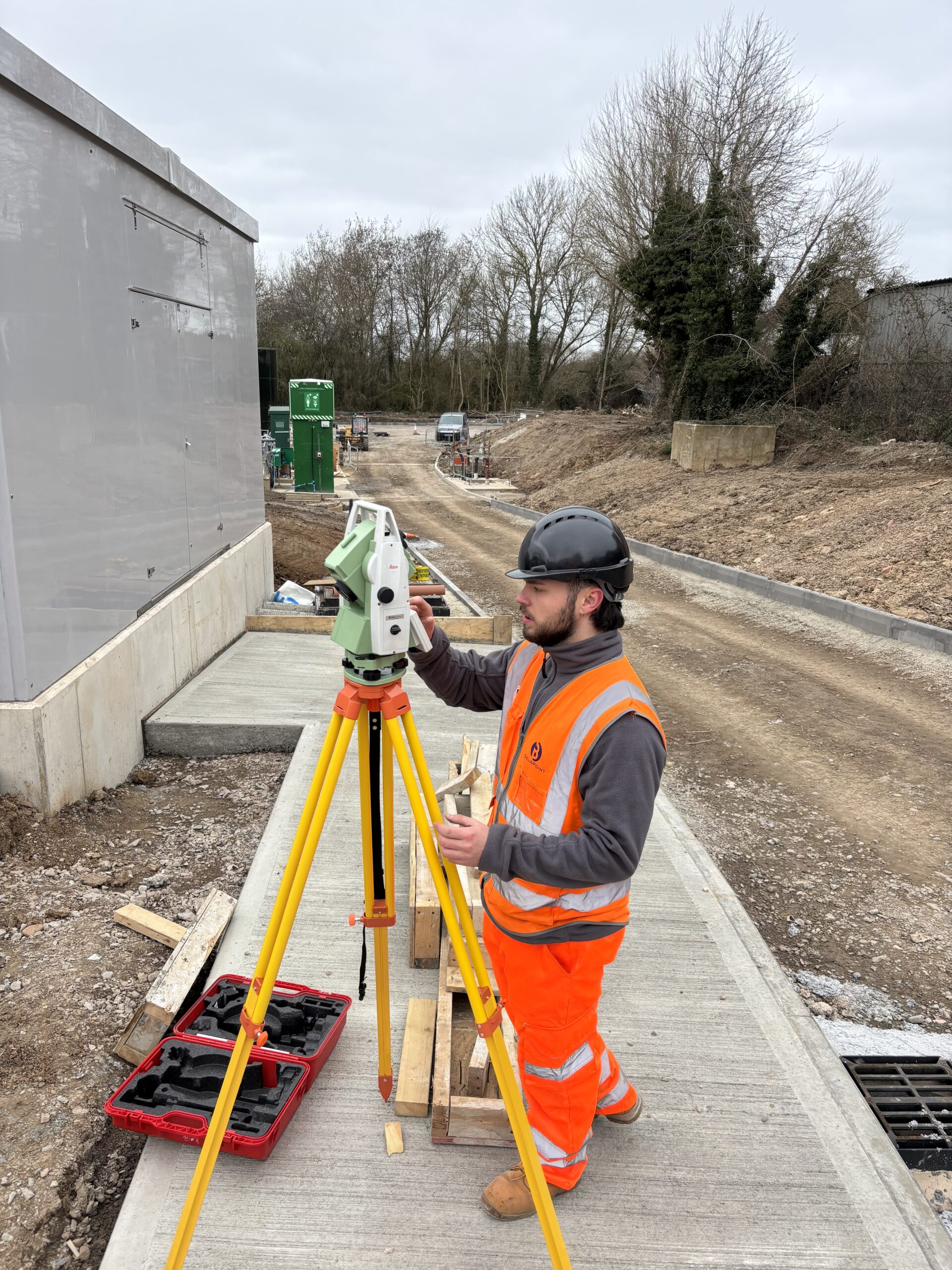
- Topographical surveys: levels, features and trees for layouts, drainage and planning.
- Measured building surveys: floor plans, elevations and sections to design from.
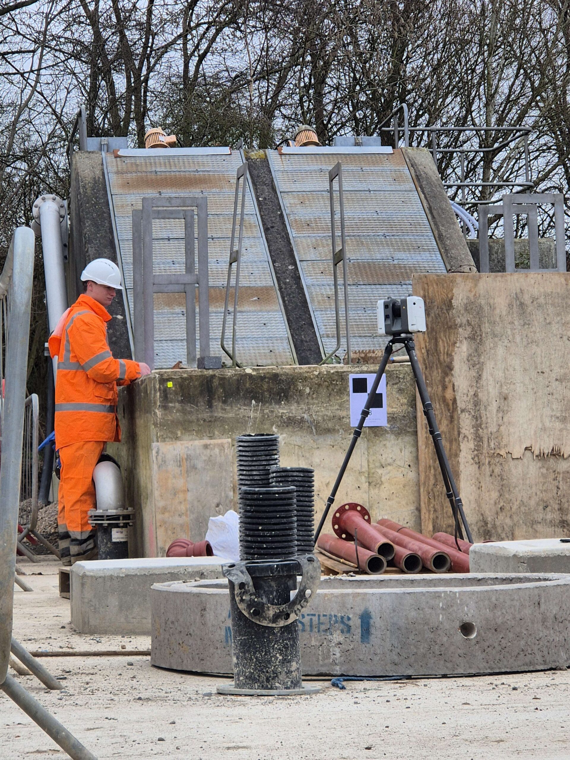
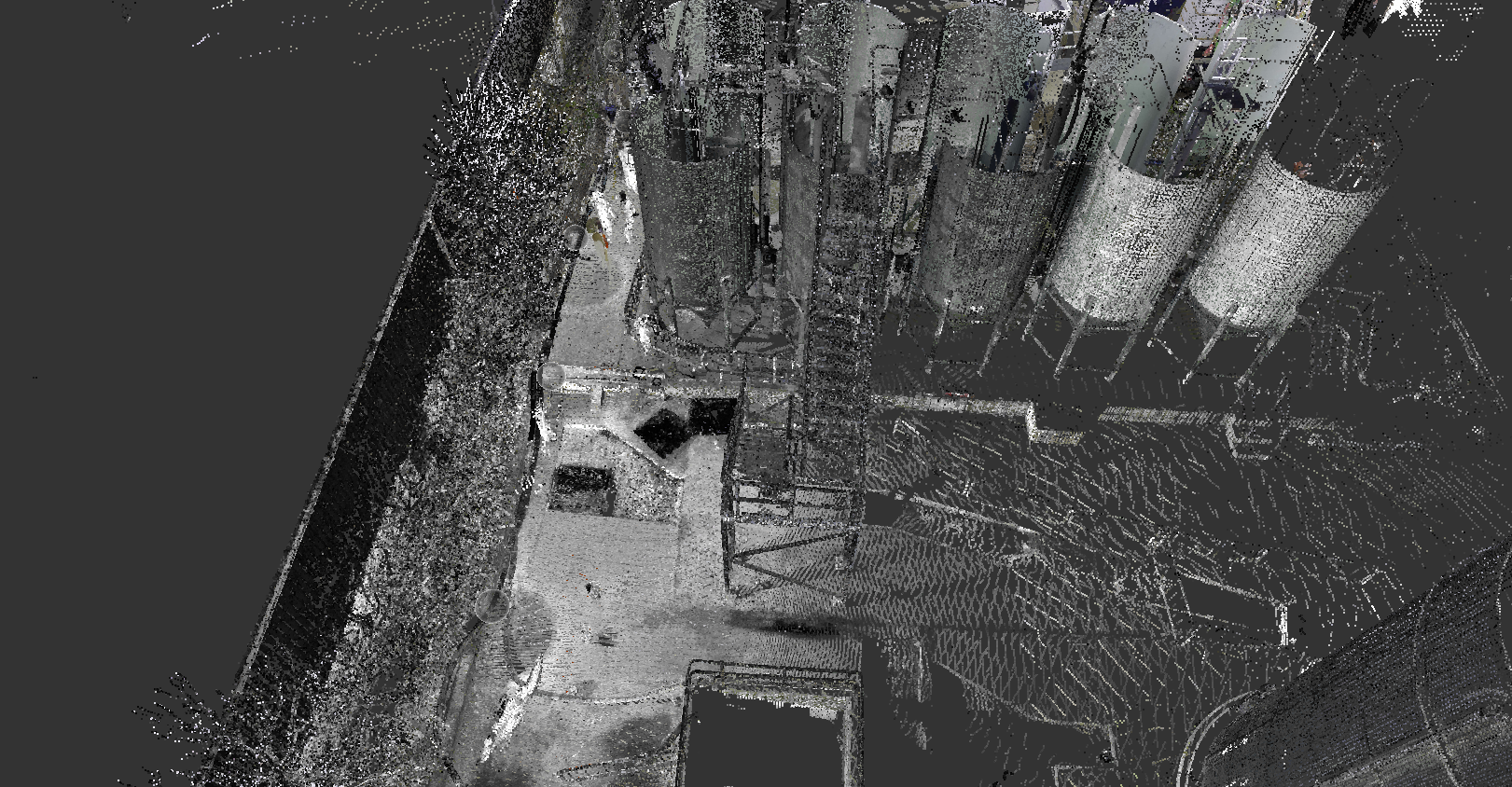
- 3D laser scanning: fast on site, and complete enough that nobody needs to go back.
- Revit modelling: built to our Revit Specification.
- PAS 128 utility surveys: dig with confidence.
- CCTV drainage surveys: find out what state the drains are in before you connect to them.
- Drone and boundary surveys.
The process, start to finish
Brief. Send us the address, a plan or a pin on a map, and what the survey is for. Quote. A fixed price within 1 working day, with no extras later for travel. Survey. On site within 3–5 working days, or 48 hours for urgent jobs. Deliverables. Usually 5–10 working days after the site visit: DWG, PDF, Revit or E57/RCP point cloud.
What you're paying for
Every survey is quoted on its own merits. The things that move the price are: - the site area or floor area, and how many levels there are - the accuracy and level of detail the design team needs - how easy it is to access the site: occupied buildings, locked areas, roofs, roads - 2D drawings or a full 3D model - how quickly you need it
Send us as much detail as you can and we'll come back with a tight, fixed price.
Leicester at a glance
Leicester mixes Victorian terraces and former hosiery and shoe factories with two large universities, busy retail and industrial parks, and growing suburbs and villages across the county. Conversions of older factory buildings are common, and laser scanning really earns its keep on those.
Projects in and around Leicester
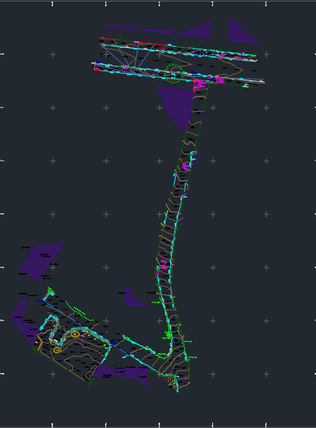
- Topographical Survey – Ainsdale Road, Leicester
- Oadby, Leicester – Laser Scanning
- Measured Building & Verification Survey, Loughborough
- CCTV Survey in Loughborough
Why SolidPoint
We're a 10-strong specialist team with Constructionline Gold accreditation. We're trusted by tier-one main contractors, with live-site work at Heathrow, universities and hospitals. We follow RICS guidance for measured surveys and PAS 128 for utility work. You deal with the people who carry out the survey, from first call to final files.
Leicester FAQs
How much does a topographical survey cost in Leicester? It depends mainly on the site size, how much detail you need and access. A typical residential plot costs far less than a multi-acre development site. Send us a plan and we'll give you a fixed price within a day.
Do you cover the whole of Leicestershire? Yes, including Loughborough, Hinckley, Market Harborough, Melton and the villages in between.
How long does it take? On site within 3–5 working days, and drawings 5–10 working days after that.
Can you survey a building that's still in use? Yes. We work around occupants and opening hours, and offer early, late and weekend slots.
Is your survey suitable for a planning application? Yes. We'll supply drawings at the scales your architect and the council need.
Can you also locate drains and utilities? Yes. We can combine PAS 128 utility mapping and CCTV drainage surveys with your topo in one visit.
Start your Leicester survey
Phone 01332 898350, email projects@solidpoint.co.uk or get a quote online.
Leicester Case Studies:

Oadby, Leicester - Laser Scanning
Discover how our laser scanning survey in Oadby, Leicester, enabled precise planning for a foul drainage pipe, reducing costs and project risks.

Topographical Survey - Ainsdale Road, Leicester
Discover how our topographical survey at Ainsdale Road, Leicester, provided crucial data for a new property development!
Need Some More Visuals?
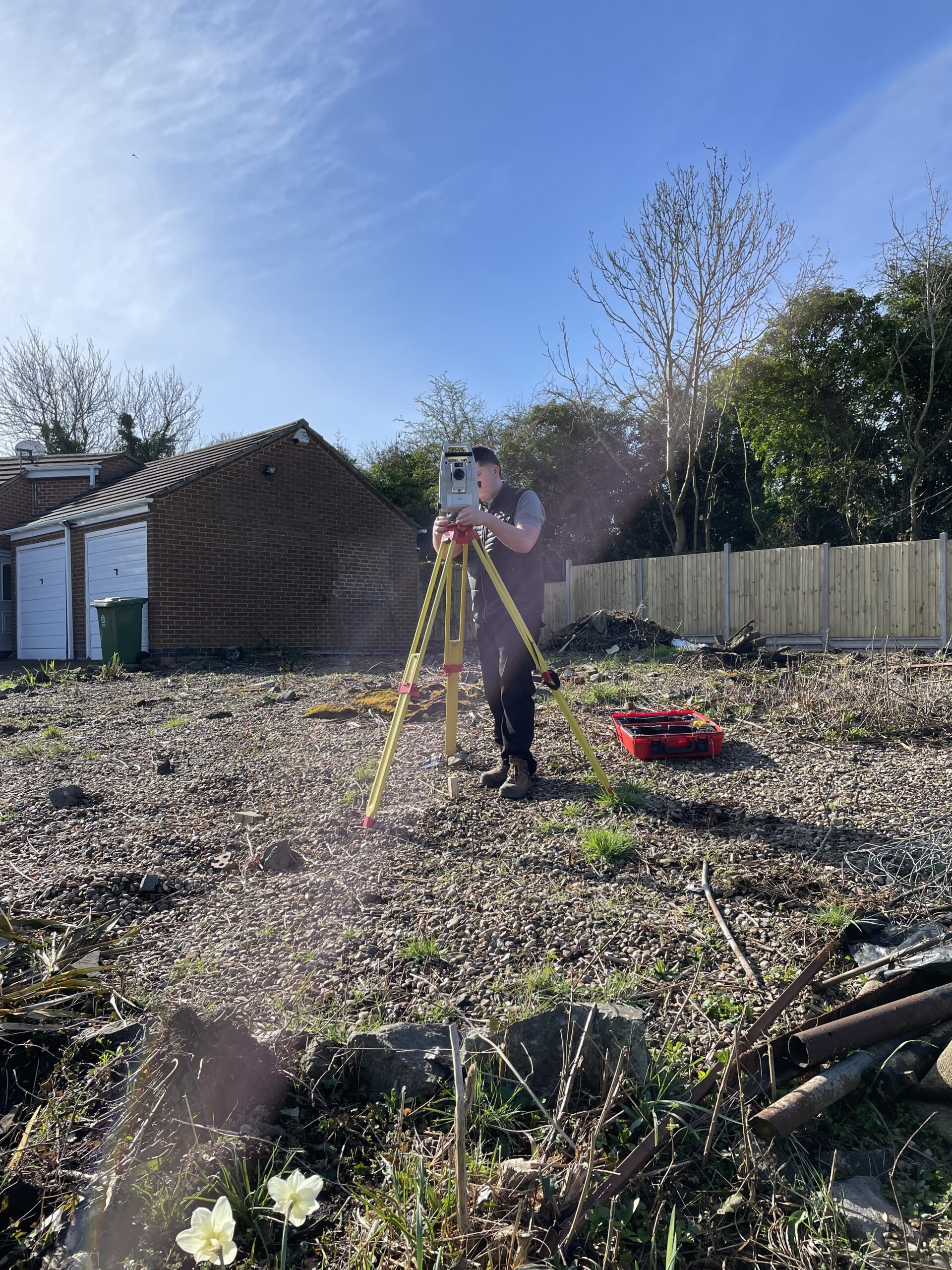
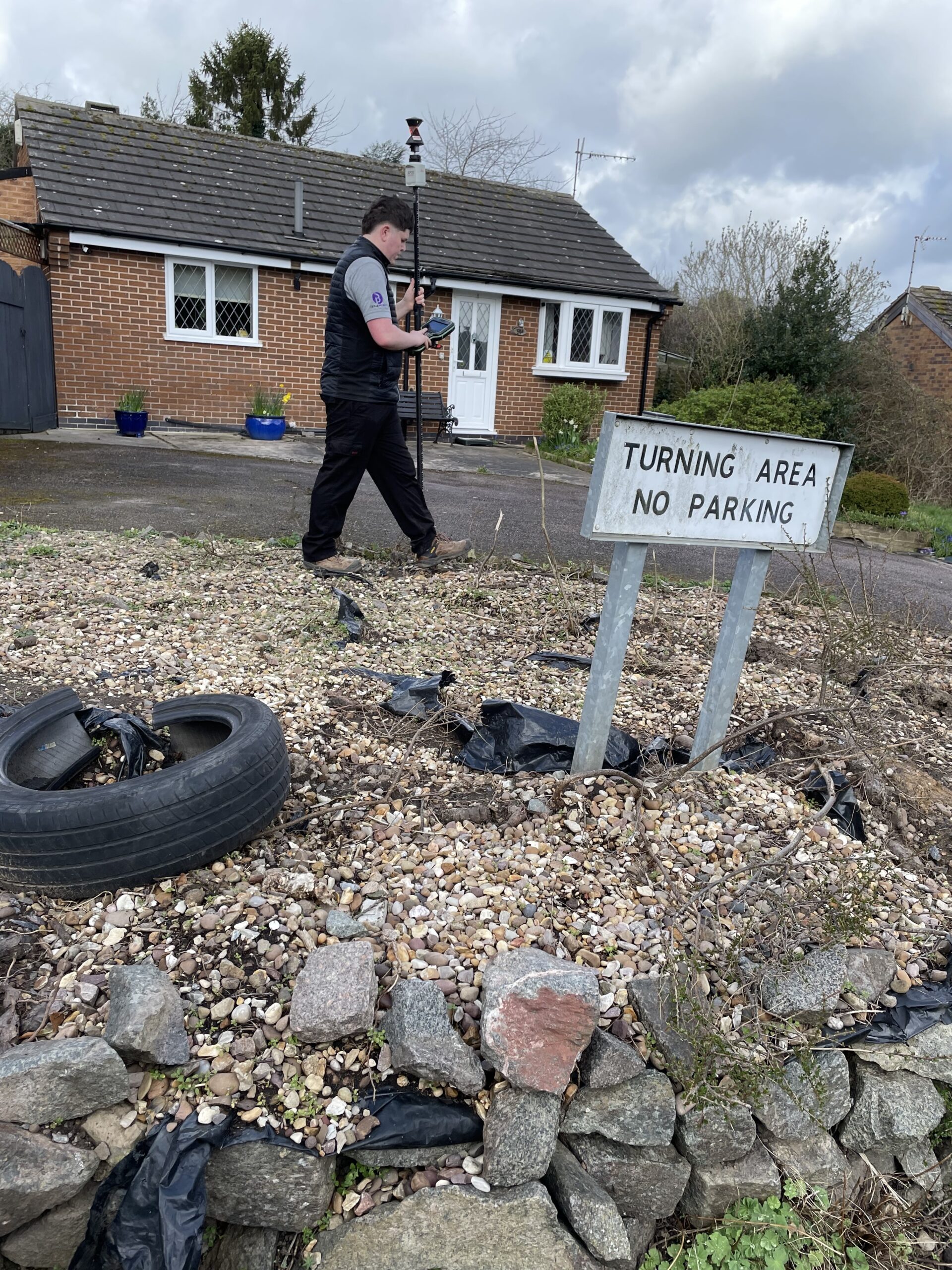
View our Leicester gallery!
Browse Our Services:
All of our services are tailored to you, to ensure that we add innovation and value to your project!

3D Laser Scanning
Point Cloud Surveys
Your Land and Buildings can be rapidly surveyed using 3D laser Scanners. This will provide an accurate existing or as-built 3D point cloud record of your land and buildings.
Aerial Drone Surveys
If you need a large area of land surveying rapidly, or struggle to access it. Then an Aerial Drone Survey is your best option. Provided as a 3D model or simple images and video.
Measured Building Surveys
If you are planning a refurb, extension or just simply re-jigging the space you have, then you’ll need an accurate and reliable measured building survey to help you plan.
Topographical Surveys
If you are looking to plan a development on your land, then a Topographical Survey or Land Survey is essential to inform your design and reduce errors later down the line.
GPR / PAS 128 Utility Surveys
Offers detailed, accurate mapping of underground utilities, crucial for efficient planning and preventing damages in construction and excavation projects.
CCTV Surveys
This method of surveying underground drains and pipelines helps identify blockages, damage, and structural issues, ensuring efficient maintenance and preventing costly repairs.
BIM
Building Information Modelling
Your Land and Buildings can be rapidly surveyed using 3D laser Scanners. This will provide an accurate existing or as-built 3D point cloud record of your land and buildings.
Revit Surveys
If you need your Measured Surveys in a Revit format, then we can help build this from our own point cloud data, or from 3rd party 2D Drawings.
360° Tours
Provide a highly immersive and realistic experience of a space, which can be used for marketing or visualisation purposes, showcase properties, and more.
Stay updated with us:
How Can SolidPoint Help Your Project?
At SolidPoint, we are passionate about providing accurate and efficiently collected data for our clients and have worked on numerous projects across the UK. If you are looking to commission a survey in your next project, please don’t hesitate to Get in touch with a member of our friendly team to discuss your requirements and get a free quote.
Alternatively, you can call us on 01332 898350 or email us at projects@solidpoint.co.uk for more information on our services. We look forward to hearing from you!
Give us a call on
Request a Free Quote


Trusted Suppliers for: