Measured Building and Laser Scanning Surveys in London
Explore some of our London projects!
In London, access is tight, buildings are occupied, and programmes don't slip quietly. You need a survey team that turns up inducted, captures the building in one visit, and delivers data your design and delivery teams can coordinate straight from. That's how we work for contractors, consultants and building owners across the capital, including on live, high-security sites like Heathrow.
Get a London quote · 01332 898350
Who we work for in London
- Main contractors and M&E specialists. You need as-built point clouds and services surveys for coordination, prefabrication and clash checks, often captured out of hours.
- Architects and interior designers. You're working on refurbishments and fit-outs where the record drawings are decades old.
- Developers and asset managers. You need full building data before acquisition, a lease, or a strip-out.
- Facilities and estates teams at universities, hospitals and corporate HQs. You need accurate CAD and BIM to manage space and plan works.
- Owners of period homes. Your basement, mansard or rear extension needs an exact measured survey, and possibly a boundary survey too.
London survey services
- 3D laser scanning: occupied floors captured quickly, with minimum disruption.
- Measured building surveys: floor plans, sections and elevations for planning and design.
- Scan-to-BIM / Revit: models built to your BEP or our Revit Specification.
- PAS 128 utility surveys: services mapped before excavation in congested urban ground.
- Topographical surveys: site and street levels for design and highways.
- Drone surveys: roofs and facades, where airspace permissions allow.
- 360° virtual tours: let your whole team walk the site remotely.
How a London job works
- Scope call or brief. We confirm the area, level of detail, access and RAMS requirements.
- Fixed quote within 1–2 working days, including travel.
- Mobilisation, typically within 5–10 working days. Urgent mobilisation can be arranged. RAMS and inductions are handled up front.
- Delivery. The registered point cloud arrives within days. CAD typically follows 1–2 weeks after the site visit, and Revit 2–4 weeks, depending on size.
What affects the price in London
- Floor area and the number of levels, including basements and plant rooms.
- Access constraints. Night or weekend work, permits, security clearance, escorts.
- Detail. Architectural only, or structure and MEP as well.
- Outputs. Point cloud only, CAD, or a full Revit model.
- Logistics. Parking, the congestion charge, and multi-day jobs.
We include these in the quote rather than adding them afterwards. Send us as much detail as you can and we'll come back with a tight, fixed price.
Surveying London's buildings
London's building stock runs from Georgian terraces and Victorian mansion blocks to post-war towers and modern commercial floors. Many are listed or sit in conservation areas, and almost all are occupied. Laser scanning suits this well: it's non-contact, it's fast, and the data can be re-measured later without another visit.
London projects
- Wick Tower, London – Measured Building Survey
- Bishopsgate, London – Measured Building Survey
- Eastcheap – Measured Building Survey, London
- Connaught Square, London
Why London contractors use SolidPoint
- Constructionline Gold, and on the supply chain of tier-one main contractors.
- Live-site discipline from work at Heathrow, universities and hospitals.
- Midlands overheads with national reach. A 10-person specialist team without central-London rates.
- RICS guidance and PAS 128 as standard.
London FAQs
Do you really cover London from Derby? Yes. London is regular work for us. Derby to St Pancras is around 90 minutes by train, and we price travel into the quote.
Can you survey out of hours? Yes. Nights and weekends are routine for occupied offices and live sites.
How do you handle RAMS and inductions? We supply RAMS, insurance and accreditation details with the quote or on request, and we complete site inductions before mobilisation.
What point cloud formats do you supply? E57 and RCP/RCS as standard. Other formats are available on request.
Can you model to our BIM execution plan? Yes. Send us your BEP or EIR and we'll model to it. If you don't have one, we'll use our Revit Specification.
Can you survey listed buildings? Yes. Scanning is non-contact, which makes it ideal for sensitive or heritage fabric.
Book your London survey
Call 01332 898350, email projects@solidpoint.co.uk or send us your scope.
London Case Studies:

St. Paul's Cathedral - 3D Drone Survey
Our team was contacted to carry out a measured survey of the exterior walls and the roof of St. Paul’s Cathedral by their Property Management team, to assess whether there is any damage to the cathedral, and to what extent that damage is.
To do this, we conducted an aerial drone survey in order to ensure that we captured every detail on the building.

Royal Cambridge Hotel - Measured Building Survey
The hotel would be live at the time of survey, yet every room needed measuring.
The initial request was for 2D Plans, sections and elevations of the building to aid them with a planning application.

Eastcheap - Measured Building Survey
We were asked to carry out a full measured building survey using Scan to BIM methods of a commercial property on Eastcheap in London.
The purpose of the survey was to aid Architects with their refurbishment designs.
There were 11 Levels including a basement and a flat roof area that need to be surveyed.
Need Some More Visuals?
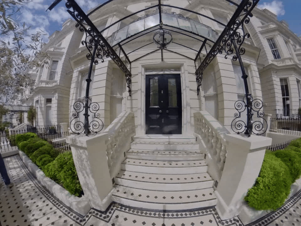
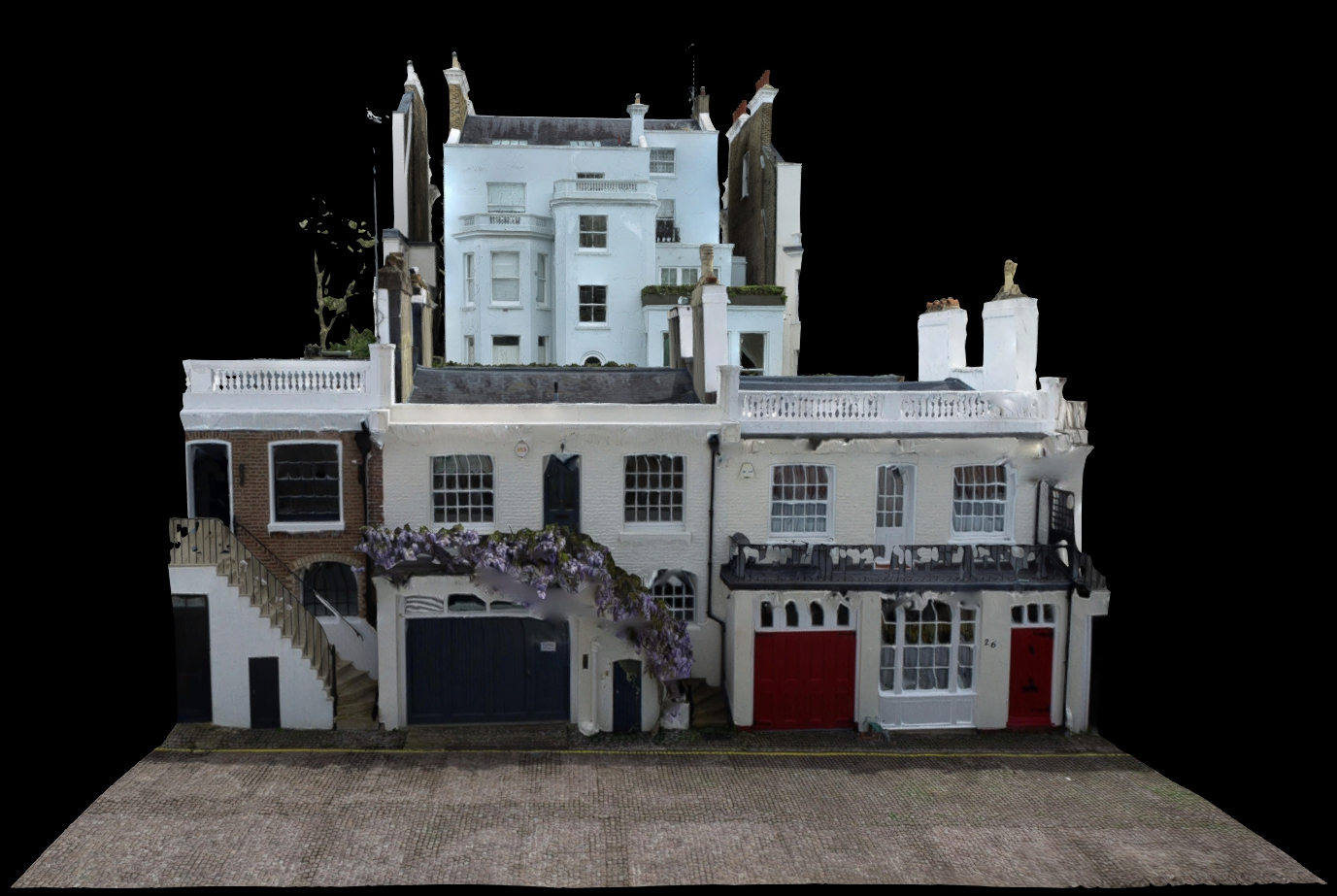
View our London gallery!


Browse Our Services:
All of our services are tailored to you, to ensure that we add innovation and value to your project!

3D Laser Scanning
Point Cloud Surveys
Your Land and Buildings can be rapidly surveyed using 3D laser Scanners. This will provide an accurate existing or as-built 3D point cloud record of your land and buildings.
Aerial Drone Surveys
If you need a large area of land surveying rapidly, or struggle to access it. Then an Aerial Drone Survey is your best option. Provided as a 3D model or simple images and video.
Measured Building Surveys
If you are planning a refurb, extension or just simply re-jigging the space you have, then you’ll need an accurate and reliable measured building survey to help you plan.
Topographical Surveys
If you are looking to plan a development on your land, then a Topographical Survey or Land Survey is essential to inform your design and reduce errors later down the line.
GPR / PAS 128 Utility Surveys
Offers detailed, accurate mapping of underground utilities, crucial for efficient planning and preventing damages in construction and excavation projects.
CCTV Surveys
This method of surveying underground drains and pipelines helps identify blockages, damage, and structural issues, ensuring efficient maintenance and preventing costly repairs.
BIM
Building Information Modelling
Your Land and Buildings can be rapidly surveyed using 3D laser Scanners. This will provide an accurate existing or as-built 3D point cloud record of your land and buildings.
Revit Surveys
If you need your Measured Surveys in a Revit format, then we can help build this from our own point cloud data, or from 3rd party 2D Drawings.
360° Tours
Provide a highly immersive and realistic experience of a space, which can be used for marketing or visualisation purposes, showcase properties, and more.
Stay updated with us:
How Can SolidPoint Help Your Project?
At SolidPoint, we are passionate about providing accurate and efficiently collected data for our clients and have worked on numerous projects across the UK. If you are looking to commission a survey in your next project, please don’t hesitate to Get in touch with a member of our friendly team to discuss your requirements and get a free quote.
Alternatively, you can call us on 01332 898350 or email us at projects@solidpoint.co.uk for more information on our services. We look forward to hearing from you!
Give us a call on
Request a Free Quote


Trusted Suppliers for: