Types of Utility Survey
All of the different types of utility survey explained simply, so you can make the best choice for your project.
Written by: F. Wrzodak and J.Jackson | Published 17th November 2026
Download this guide as a pdf
Definitions & Useful Links
PAS:128 - the British standard for utility surveys
QL - stands for Quality Level
M - stands for Methodology used
P - shows where post-processing of GPR is used to improve the confidence of the data
Street furniture - lamp posts, telegraph poles, valves and inspection chambers

GPR / PAS 128 Utility Surveys
Offers detailed, accurate mapping of underground utilities, crucial for efficient planning and preventing damages in construction and excavation projects.
What Are the Different Types of Utility Survey?
There are 4 main types of PAS128 utility survey - types D-A.
A PAS:128 Type B is the initial standard utility survey we carry out, however our team will discuss your exact project needs to help you determine the Type you need.
Each site and project is different, so one project may require a single Type for the whole project, where another might need one Type to cover the area as a base, but need different Types for specific areas.
Below is a quick summary of what each one is:
Type D
The lowest detail utility survey type. No site visit involved.
Uses a desktop search to identify existing utility data within the survey area and provide basic information based on what the utility companies believe to be there.
Type C
Uses the information from a Type D survey and information collected from a site visit.
The site visits are used to:
-
- Validate information from Type D
- Find out if there are any conflicts that need to be resolved
- Confirm existence of street furniture
The finished product correlates all information to physical ground features.
Type B
The most varied utility survey type with regards to quality levels.
Final deliverables combines:
-
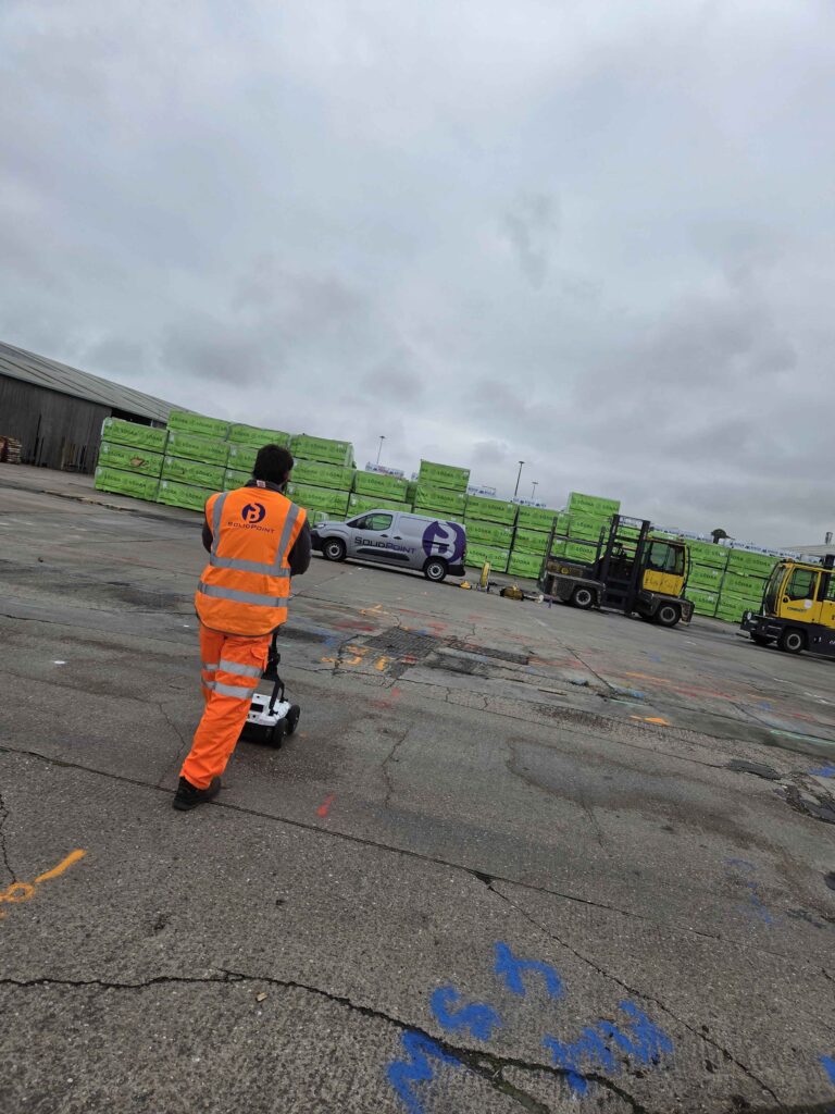
- Detailed detection survey using EML and GPR
- Visual inspection at chambers
- Type D information
- Any other survey methods conducted (for example, a CCTV survey)
Type A
The most detailed utility survey type.
Provides detailed, accurate cross-sectional CAD drawings of trial pits and/or trial holes showing the verified position of all exposed utilities.
Type D Utility Survey (QL-D)
Overview
This level consists of collecting information from the utility providers, compiling a large document together and handing this over to you (the client).
For a private site, these records are collected from you or the estates department.
Accuracy
Accuracies of the records are not defined. This is stated in the report.
Deliverables
You will receive:
-
- All of the compiled records
- A survey boundary
- All correspondence
There's also an optional deliverable of having the utilities plotted onto a CAD drawing.
Type C Utility Survey (QL-C)
Overview
A Type C utility survey requires a Type D and a site visit to be carried out.
Information from the Type D will be compared against a visual walkover of your site.
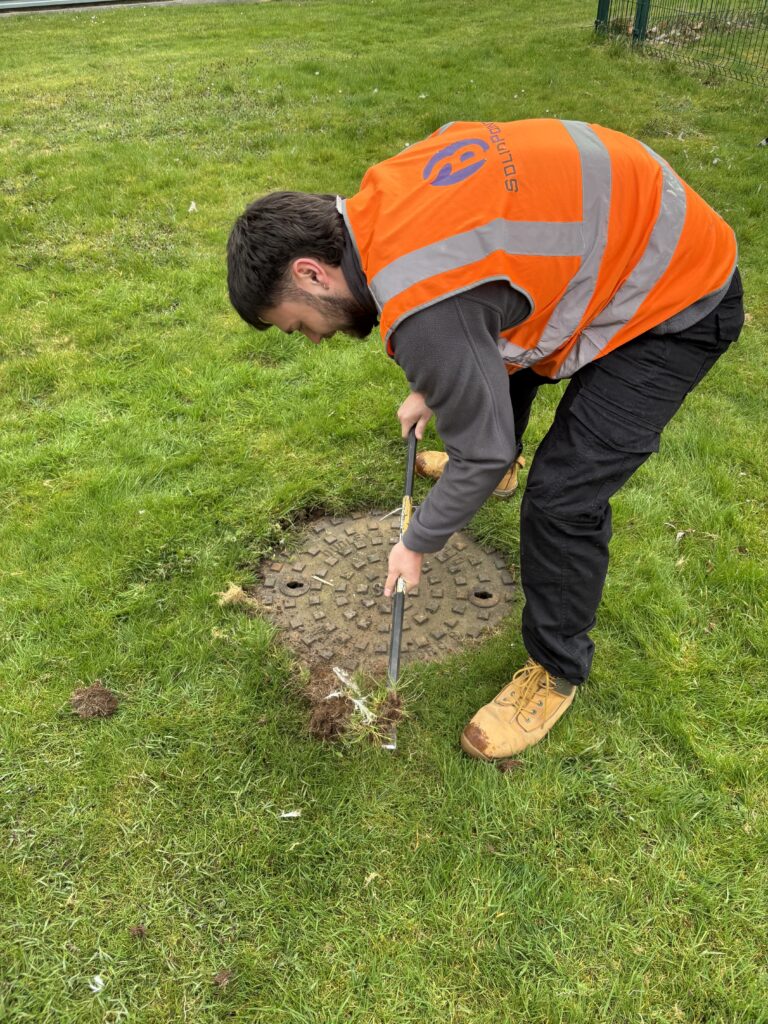
The surveyor will attend your site to look at above-ground features, such as:
-
- Manhole features
- Utility marker posts
- Cabinets
- Old excavation scars
These features will then be followed until a known feature can be identified. If no feature can be identified, they will be labelled as such.
A surveyor will look for specific features based off the Type D records obtained before the site visit.
Accuracy
Aside from using basic measuring equipment from feature to feature, no measurements are taken
Because of this, the accuracy of a Type C utility survey is not defined - no depths or accurate horizontal positioning of services are given.
Deliverables
You will receive:
-
- A digital drawing with the records shifted to match the on-site features.
- A report containing:
- Site details, including the date, time and weather at the time of the survey
- Surveyors' names and qualifications
- The measurement equipment used
- Photos + a plan showing where each photo was taken and which way it faces
- Areas that couldn't be accessed
- A list of the records used
- An outline of the area inspected
There are also optional extras that can be included, such as meter details for decommissioning work. Speak to our surveyors if you have any extra requests.
Type B Utility Survey (QL-B)
Overview
A PAS:128 Type B is the initial standard utility survey we carry out, however our team will discuss your exact project needs to help you determine the Type you need.
Type B is a geophysical survey that uses both EML and GPR as a minimum. Included in every Type B survey is:
-
- A QL-C walkover
- A methodology statement to ascertain grid requirements for precise systematic GPR scanning
There are 4 different methodology groups that can be used for a Type B:
Methodology Groups
| Methodology Used | Area Type | Grid Spacing |
| M1 / M1P | Undeveloped / Greenfield |
EML - ≤10 m GPR - ≤5 m grid or boundary transects |
| M2 / M2P | Suburban |
EML - ≤5 m GPR - ≤2 m |
| M3P | Busy urban / Clearance before drilling / Boreholes |
EML - ≤2 m GPR - ≤1 m (post-processing required) |
| M4P | Congested city centre | GPR - ≤0.5 m or full array coverage (post-processing required) |
QL-B also provides confidence levels on drawings:
Confidence Levels
QL-B4 - Information comes from records or assumed routes that could not be traced or found on site.
QL-B3+P - Position has been found, but no reliable depth has been found.
QL-B2+P - Position and depths have been found, but there's either:
-
- A looser tolerance,
- A weaker trace, or
- Not a confident hyperbola
QL-B1+P - Position in the Z, X and Y axis found with high confidence. This would mean that either:
-
- The EML gives a clean, even signal,
- A Hyperbola is very clear and visible, or
- Both methods have confirmed it
Term Definitions
Z, X and Y axis - Vertical / depth (Z) and horizontal (X and Y)
Hyperbola - Anomalies on the GPR scans
Accuracy
QL-B4 - No tolerances as neither horizontal or depth could be identified.
QL-B3P - The horizontal tolerance is ±500 m.
QL-B2P - There's a tolerance of ±250 mm horizontal and ±40% depth.
QL-B1P - The confidence in accuracy tolerance is ±150 mm for horizontal and ±15% of depths. For example, if the service shows depth as 1.23, it can be 15% deeper or shallower.
| Quality Level | Location Accuracy - Horizontal | Location Accuracy - Vertical |
| QL-B4 | Undefined | Undefined |
| QL-B3 and QL-B3P | ± 500 mm | Undefined |
| QL-B2 and QL-B2P | ± 250 mm | ± 40% of detected depth |
| QL-B1 and QL-B1P | ± 150 mm | ± 15% of detected depth |
Deliverables
You will receive:
-
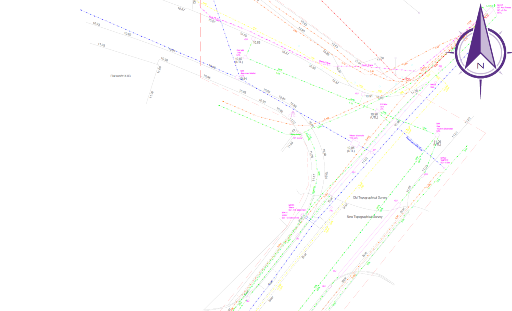
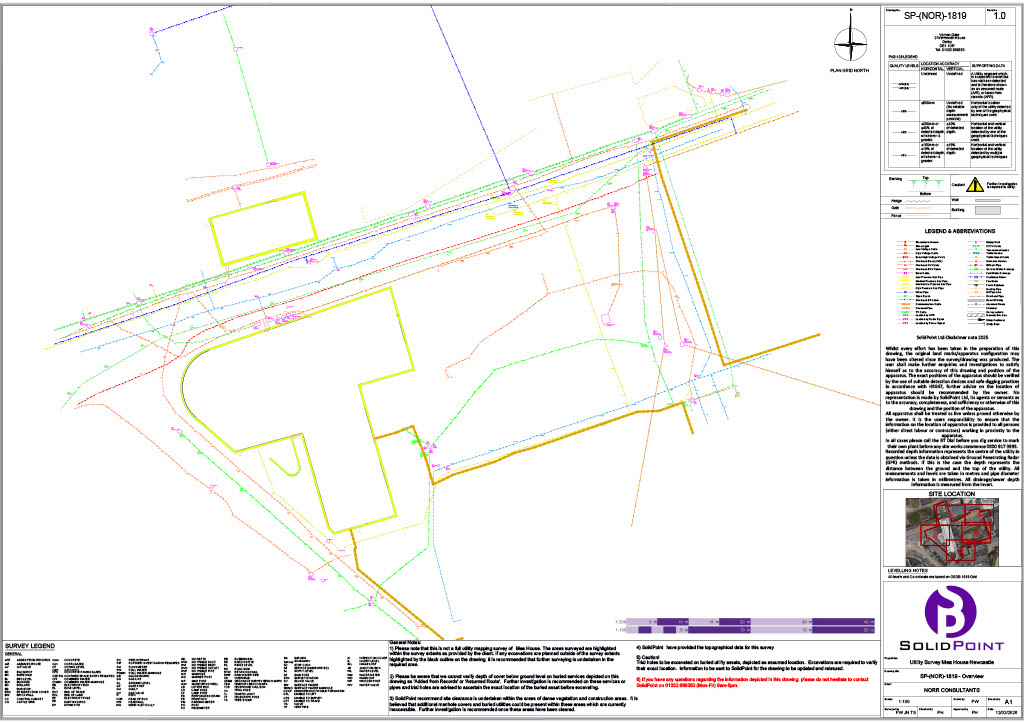
- CAD drawing
- Full report
- PAS:128 checklist
- GPR swathes
Type A Utility Survey (QL-A)
Overview
A Type A utility requires a Type D, and a Type B is recommended.
This quality level confirms services by physically looking at them using chambers or vacuum excavation, or insulated hand-digging tools. The dig location is chosen using the previous survey types, then excavation begins.
We do not carry out this level of utility survey.
Conclusion
Understanding each type of utility survey can get confusing, so hopefully this guide helps.
Got a project that risks hitting a utility? Get in touch with our team to discuss how we can help you avoid just that.
Stay updated with us:
How Can SolidPoint Help Your Project?
At SolidPoint, we are passionate about providing accurate and efficiently collected data for our clients and have worked on numerous projects across the UK. If you are looking to commission a survey in your next project, please don’t hesitate to Get in touch with a member of our friendly team to discuss your requirements and get a free quote.
Alternatively, you can call us on 01332 898350 or email us at projects@solidpoint.co.uk for more information on our services. We look forward to hearing from you!
Give us a call on
Request a Free Quote






Trusted Suppliers for: