Derby Surveyors for Buildings, Land and Utilities
Explore some of our Derby projects!
We're a Derby firm. Our office is at Vernon Gate, so for most jobs in the city we can be on site the same week, sometimes the same day. If you need accurate drawings, a 3D model or buried services mapped before work starts, you're dealing with the people who'll actually turn up and do the survey.
Get a quote · 01332 898350 · or pop in: 2 Wentworth House, Vernon Gate, DE1 1UR
Who we help across Derby and Derbyshire
- Architects and planning consultants who need existing drawings or a topographical survey to submit a scheme without guesswork.
- Developers taking on mills, chapels, offices and infill plots, who need everything captured before the money is committed.
- Main contractors and M&E firms on Derby schemes who need as-built point clouds and utility surveys for safe, coordinated installs.
- Estates teams at schools, universities, councils and healthcare sites who need floor plans and models that are accurate today, not in 1987.
- Homeowners in Allestree, Mickleover, Chellaston, Duffield and beyond who need a boundary survey or a level survey for an extension.
Our services
- Measured building surveys: plans, elevations and sections to design from. See the Derby page.
- Laser scanning and point clouds: complete 3D capture, ideal for complex or historic buildings.
- Revit / scan-to-BIM: models built to our Revit Specification.
- Topographical surveys: levels and features for planning, drainage and design. See Derby topo.
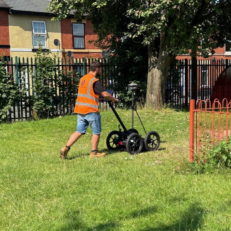
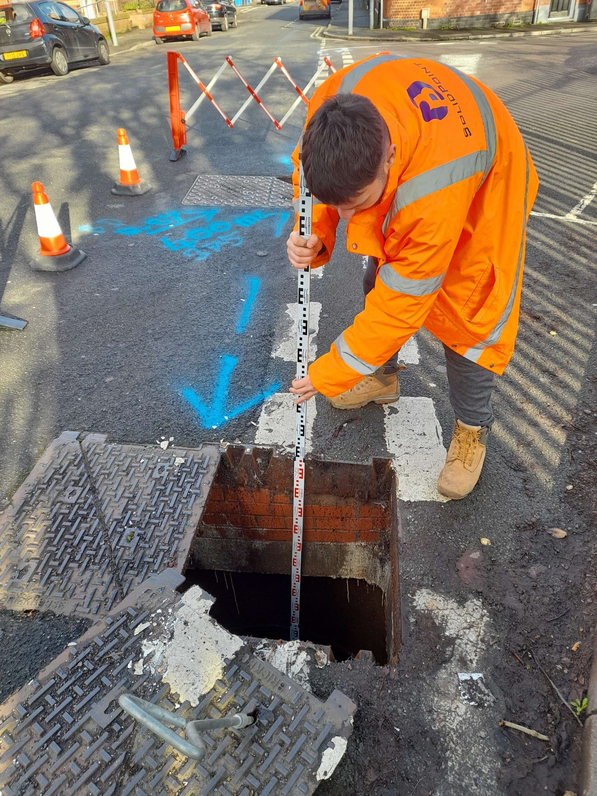
- PAS 128 utility surveys: what's underground, and how sure we are of it. See Derby utility.
- Drone surveys: roofs, progress monitoring and 3D models. See Derby drone.
- Boundary surveys: settle the line before the fence goes up or the solicitor gets involved.
- CCTV drainage and 360° tours.
How a Derby job runs
- Call or email with the address and what the survey is for.
- Quote back, normally the same or next working day, at a fixed price.
- On site, often within 2–3 working days locally, and within 48 hours for urgent work.
- Files delivered 5–10 working days after the site visit: DWG, PDF, Revit or E57/RCP. Bigger BIM models take 2–4 weeks.
Pricing: what makes a difference
- Floor area, site size and the number of storeys.
- The detail required. For example, whether we include ceiling heights, structure, services and facade features.
- Access. Occupied premises, roof access, traffic management for road-side utility work.
- Outputs. A 2D drawing pack is quicker than a full Revit model.
- Timescales.
There's no travel cost in Derby. The clearer your brief, the sharper the price.
Derby's building stock
Derby has something of everything: Georgian and Victorian buildings around Friar Gate and the Cathedral Quarter, mills along the Derwent Valley, inter-war suburbs, and a strong engineering and manufacturing base with large industrial sites. Older properties are rarely square, and we survey them accordingly.
Derby projects
- Velodrome, Derby
- Moorways Sports Village, Derby
- Connect Derby – Annual Drone Surveys
- Derby Schools & Nurseries – 3D Drone Surveys
- Friar Gate Studios, Derby
- Marble Hall, Kings Chambers, Riverside Chambers and Sadler Bridge Studios: 3D drone surveys
- Boundary Survey in Derby and Doveridge
Why work with a local Derby team
- We're nearby. That means quick site visits, easy returns, and a face you can meet.
- We have big-project credentials. Constructionline Gold, and work for tier-one main contractors at Heathrow, universities and hospitals.
- There are ten of us. That's big enough to resource a programme and small enough that you'll speak to the surveyor.
- We work to standards. RICS for measured surveys and PAS 128 for utilities.
FAQs
How fast can you survey in Derby? Usually within 2–3 working days, and within 48 hours if it's urgent.
Do you only work in Derby? No. Derby is our base, but we work across the Midlands and travel nationwide for larger jobs.
What's the difference between a measured survey and a topographical survey? A measured survey records a building: rooms, walls, elevations. A topographical survey records the land: levels, boundaries, trees, drainage and other features. Many projects need both.
What format will my survey come in? DWG and PDF as standard. Revit and point cloud (E57/RCP) are available if your team uses them.
Do I need a boundary survey before building an extension? If there's any doubt about where the line sits, yes. It's far cheaper than a dispute after the walls are up.
Can I visit your office? Yes. We're at 2 Wentworth House, Vernon Gate, Derby DE1 1UR. Call ahead so the right person is in.
Talk to Derby's survey team
Call 01332 898350, email projects@solidpoint.co.uk or request a quote.
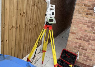
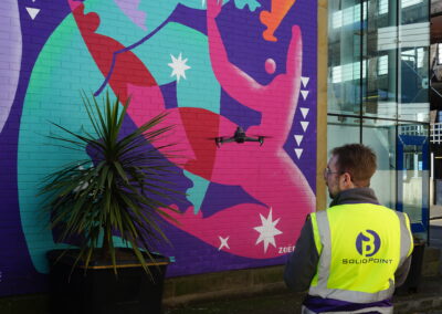
Derby Case Studies:



Need Some More Visuals?
View our Derby gallery!





Browse Our Services:
All of our services are tailored to you, to ensure that we add innovation and value to your project!

3D Laser Scanning
Point Cloud Surveys
Your Land and Buildings can be rapidly surveyed using 3D laser Scanners. This will provide an accurate existing or as-built 3D point cloud record of your land and buildings.

Aerial Drone Surveys
If you need a large area of land surveying rapidly, or struggle to access it. Then an Aerial Drone Survey is your best option. Provided as a 3D model or simple images and video.

Measured Building Surveys
If you are planning a refurb, extension or just simply re-jigging the space you have, then you’ll need an accurate and reliable measured building survey to help you plan.

Topographical Surveys
If you are looking to plan a development on your land, then a Topographical Survey or Land Survey is essential to inform your design and reduce errors later down the line.

GPR / PAS 128 Utility Surveys
Offers detailed, accurate mapping of underground utilities, crucial for efficient planning and preventing damages in construction and excavation projects.

CCTV Surveys
This method of surveying underground drains and pipelines helps identify blockages, damage, and structural issues, ensuring efficient maintenance and preventing costly repairs.

BIM
Building Information Modelling
Your Land and Buildings can be rapidly surveyed using 3D laser Scanners. This will provide an accurate existing or as-built 3D point cloud record of your land and buildings.

Revit Surveys
If you need your Measured Surveys in a Revit format, then we can help build this from our own point cloud data, or from 3rd party 2D Drawings.

360° Tours
Provide a highly immersive and realistic experience of a space, which can be used for marketing or visualisation purposes, showcase properties, and more.
Stay updated with us:
How Can SolidPoint Help Your Project?
At SolidPoint, we are passionate about providing accurate and efficiently collected data for our clients and have worked on numerous projects across the UK. If you are looking to commission a survey in your next project, please don’t hesitate to Get in touch with a member of our friendly team to discuss your requirements and get a free quote.
Alternatively, you can call us on 01332 898350 or email us at projects@solidpoint.co.uk for more information on our services. We look forward to hearing from you!
Give us a call on
Request a Free Quote





Trusted Suppliers for: