Everything You Need to Know About Utility Surveys
Find everything you need to know about utility surveys, condensed into one short page
Written by: J.Jackson | Published:
In This Page
Download this page as a pdf
What Is a Utility Survey?

GPR / PAS 128 Utility Surveys
Offers detailed, accurate mapping of underground utilities, crucial for efficient planning and preventing damages in construction and excavation projects.
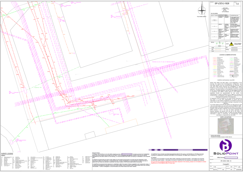
A utility survey is a survey used to locate, map and record buried services within a site or area of land. This can include electric cables, gas pipes, water mains, drainage, telecoms, fibre, street lighting cables and other underground infrastructure.
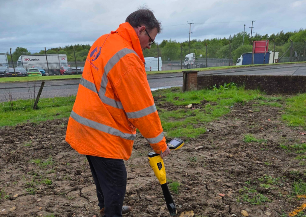
At SolidPoint, utility surveys are carried out using a combination of EML, GPR, inspection cover lifting and on-site investigation to build a clearer picture of what is below ground. The survey can then be used to produce existing utility drawings, reports, manhole details, service depths where detectable, and supporting information for design, excavation or construction planning.
Our utility surveys follow a recognised specification for underground utility detection, verification and location - PAS 128 helps give clients a clearer understanding of the confidence level, accuracy and method used to locate underground services.
Why Utility Surveys Matter
Utility surveys matter because what is underground can have a major impact on what happens above ground.
Before excavation, construction, refurbishment, drainage works, landscaping, foundation design or infrastructure upgrades, project teams need to understand where existing services are likely to be. Without that information, there is a higher risk of utility strikes, design clashes, service disruption, unexpected delays and additional costs.
A good utility survey gives designers, contractors and project managers more reliable information at the planning stage. It helps them make better decisions, avoid unnecessary assumptions and reduce the chance of discovering major issues once work has already started on site.
When Do You Need a Utility Survey?
You may need a utility survey when your project involves any work that could affect the ground, external areas, buried services or existing infrastructure.
Typical examples include:
-
- Before excavation, trenching or trial holes
- Before new foundations, drainage or service installations
- Before construction or redevelopment work
- During land development and planning
- Before car park, road, yard or external works
-
- When re-routing existing services
- For infrastructure maintenance or upgrades
- When utility records are old, unclear or incomplete
- When contractors need information before pricing or starting work
Key Benefits
Reduces the risk of utility strikes
By far, the biggest benefits of a utility survey is reducing the chance of damaging buried services. Striking a gas pipe, electric cable, water main or telecoms duct can be dangerous, expensive and disruptive. A utility survey helps highlight where services are likely to be so they can be avoided, protected or investigated further.
Supports better design decisions
Design teams can only work properly with reliable existing information. A utility survey helps architects, engineers and consultants understand what constraints are already present below ground. This is especially useful when planning foundations, drainage, service routes, landscaping or new infrastructure.
Helps contractors price more accurately
When underground risks are unclear, contractors may add contingency or refuse to proceed until more information is available. A utility survey can help provide the information needed to price the work more confidently.
Can support BIM and digital workflows
Utility information can be used alongside topographical surveys, point clouds, BIM models and design information. This helps create a more coordinated view of the site and supports better planning across the full project team.
Improves health and safety
Buried utilities are not just a design issue. They are a safety issue. Knowing where services are located helps contractors plan safer excavation methods, reduce risk to site teams and avoid unnecessary exposure to live services.
How Much Does a Utility Survey Cost?
Our pricing calculator provides an instant guide to the cost of professional utility surveys across the UK. Simply select your land type, choose the appropriate size, and calculate travel costs to receive a tailored estimate.
How They Can Reduce Costs
Utility surveys reduce costs by helping project teams avoid expensive surprises.
A utility strike can cause repair costs, site delays, emergency callouts, health and safety issues, service disruption and possible penalties. Even when nothing is damaged, finding an unexpected service during excavation can still stop work while designs are changed, contractors are rebooked or alternative routes are considered.
By locating and mapping services earlier, a utility survey helps the design team plan around known constraints. Contractors can price the work with more confidence, avoid high-risk areas where possible and take extra care around detected services. This can reduce delays, reduce redesign, improve sequencing and lower the risk of unexpected costs once work begins.
What Will You Receive?
Every project is different, so deliverables vary. Below, you can find what’s included as a standard in every SolidPoint utility survey.
No two scopes are the same, so neither are our processes – discuss your project’s needs with our surveyors, who will put together a package that works best for you.
You will receive:
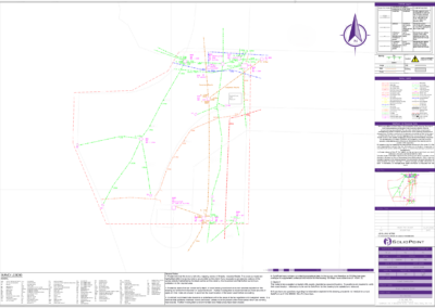
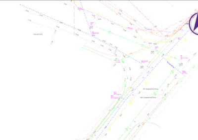
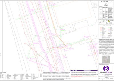
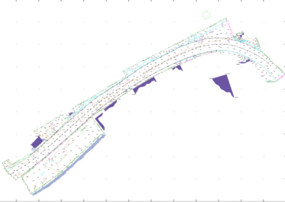
- Utility Mapping drawings of your survey, including 2D Drawing with Depths and services plotted and colour coded. You will receive this as a DWG and a PDF
- A comprehensive Survey Report PDF summarising the survey methodology and findings.
- Desktop Survey PDF of all the utility providers in the area, necessary for a PAS128 survey.
- A full gallery of images taken during the survey to provide visual evidence of utility locations and conditions of site. These will be in JPEG and PNG formats
- Risk Assessment and Method Statement PDF outlining safety procedures and survey methods necessary for a PAS128 Survey.
- Manhole Cards PDF showing details of all the Manholes and Inspection chambers that have been investigated.
*If you require a file format that isn't listed as our standard, please reach out to the team who will make reasonable adjustments to fit your scope.
How a professional may use each deliverable:
Utility Mapping Drawings
Used by architects, engineers, and site managers for design and construction planning. This is for planning where excavation will take place and with what tools to avoid service strikes. Also aids in planning on rerouting services or installing services into preexisting runs.
Survey Report
Shared with project managers, clients, and regulatory bodies for compliance and review. This is to get an overview of the site so that it can be used for planning or addressing urgent matters.
Photographic Records
Referenced by site managers and health & safety officers for site verification. Also used by designers and maintenance to determine the health and usability of service/cover
Risk Assessment and Method Statement
Essential for health & safety officers and contractors to ensure safe working practices. Used by Site Managers and some times site contact to ensure safety is adhered to.
PDF (Portable Document Format)
- Standard for sharing reports and drawings; viewable on any device.
- Likely to be used by Project Managers and Regulatory Bodies
DWG (AutoCAD Drawing)
- Editable drawing files used for technical plans and mapping.
- Likely to be used by Architects, Engineers and Surveyors
DXF (Drawing Exchange Format)
- Compatible with various CAD programmes for design integration.
- Likely used by Architects and Engineers
JPEG/PNG (Image Files)
- Used for photographic documentation of site surveys and evidence.
- Likely used by Site Managers and Health & Safety Officers
Common Mistakes When Commissioning a Utility Survey & How to Avoid Them
1. Commissioning the survey too late
A common mistake is waiting until excavation is about to start before arranging a utility survey. By that point, design decisions may already have been made and contractors may already be booked.
How to avoid this:
Commission the utility survey early, ideally before detailed design or intrusive works begin. This gives the project team time to use the findings properly and make design changes before they become expensive.
2. Choosing the wrong survey scope
Not every project needs the same level of survey. A small external works project may need a different scope to a major infrastructure scheme, hospital site or airport project.
How to avoid this:
Give the survey provider clear information about the site, planned works, excavation areas, drawings available and what decisions the survey needs to support. A good scope helps avoid paying for unnecessary work while still covering the right risks.
3. Treating the drawing as a guarantee
Utility survey drawings are an important tool, but they should be read with the report, notes, confidence levels and limitations. Treating every line as absolute can create risk.
How to avoid this:
Review the drawing alongside the survey report. Pay attention to quality levels, assumed routes, depths, limitations and areas where further verification may be recommended.
Take a look at more common mistakes made, and other useful tips:
Why SolidPoint?
Our qualified surveyors work in accordance with the British standard PAS 128, ensuring that your land or area is surveyed using proven techniques for maximum accuracy.
We are flexible and can work to a custom specification provided by you, or we can create one based on your project requirements so that costs suit you and every detail you require is covered to the best of our ability.
Stay updated with us:
How Can SolidPoint Help Your Project?
At SolidPoint, we are passionate about providing accurate and efficiently collected data for our clients and have worked on numerous projects across the UK. If you are looking to commission a survey in your next project, please don’t hesitate to Get in touch with a member of our friendly team to discuss your requirements and get a free quote.
Alternatively, you can call us on 01332 898350 or email us at projects@solidpoint.co.uk for more information on our services. We look forward to hearing from you!
Give us a call on
Request a Free Quote





Trusted Suppliers for: