Everything You Need to Know About Point Cloud Surveys
Find everything you need to know about point cloud surveys, condensed into one short page
Written by: J.Jackson | Published 10th September 2026
In This Page
Download this page as a pdf
What Is a Point Cloud Survey?

3D Laser Scanning
Point Cloud Surveys
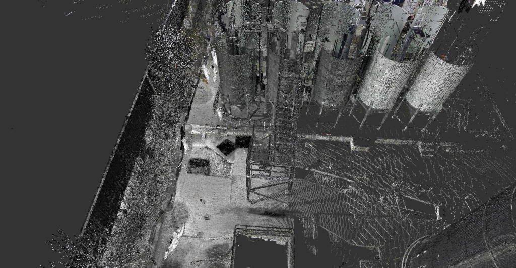
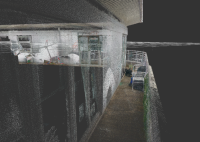
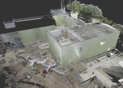
Your Land and Buildings can be rapidly surveyed using 3D laser Scanners. This will provide an accurate existing or as-built 3D point cloud record of your land and buildings.
A point cloud survey is a highly detailed method of capturing the existing condition of a building, site, structure or space.
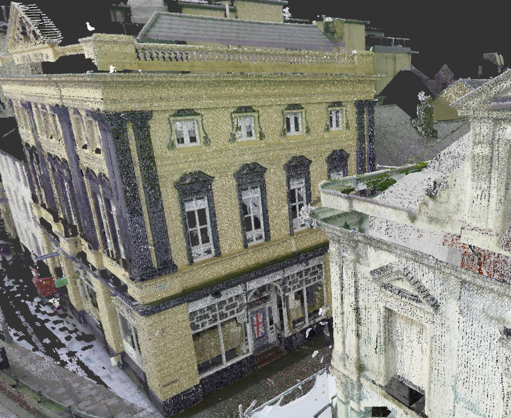
Using 3D laser scanning technology, millions of measured data points are collected from the real-world environment. When these points are processed together, they create a digital 3D representation of the area that has been surveyed.
This data can then be used by architects, engineers, designers, contractors, BIM specialists and project teams who need an accurate record of what is already there before starting design, construction, refurbishment or maintenance work.
In simple terms, a point cloud survey gives your project team a reliable digital version of the existing site.
Why Point Cloud Surveys Matter
A point cloud survey is useful because it reduces guesswork.
Many projects begin with outdated drawings, incomplete information or rough site measurements. This can lead to design clashes, missed details, extra site visits and avoidable changes later in the project.
A point cloud survey provides accurate existing information from the start. Instead of relying on assumptions, your team can work from measured data that reflects the real condition of the building or site.
This is especially useful when working on complex buildings, refurbishment projects, heritage properties, plant rooms, high-level areas, industrial sites, irregular structures or spaces where access is limited.
When Do You Need a Point Cloud Survey?
You may need a point cloud survey if you are planning:
-
- A refurbishment project
- A building extension
- A fit-out or redesign
- A Scan to BIM project
- A measured building survey
- A structural or MEP survey
- A heritage or conservation project
-
- A condition record
- A complex construction project
- A plant room, roof or industrial survey
- A project where existing drawings are missing or unreliable
A point cloud survey is especially valuable when accuracy matters and the cost of getting it wrong could lead to delays, redesign or rework.
Key Benefits
Accurate existing site information
One of the biggest benefits of a point cloud survey is accuracy. Laser scanning captures the real shape, position and condition of a space, which helps project teams understand what they are working with before making design or construction decisions.
This is particularly useful where buildings are old, altered over time, irregular in shape or lacking reliable drawings.
Reduced risk of design errors
When a design is based on poor information, problems often appear later. Walls may not be where they were expected to be. Ceiling heights may be lower than assumed. Services may clash with proposed layouts. Structural elements may be missed.
A point cloud survey helps reduce these risks by giving designers a clearer understanding of the existing environment.
Supports better decision-making
A clear point cloud gives everyone involved in the project a more complete understanding of the site.
This helps clients, designers, engineers and contractors make informed decisions earlier, reducing uncertainty as the project moves forward.
Useful for 2D drawings, 3D models and BIM
Point cloud data can be used as the base information for a range of deliverables, including 2D drawings, Revit models, BIM models and visual reference files.
This makes it useful for architects, engineers, contractors and consultants who need different levels of detail depending on the stage and purpose of the project.
How Much Does a Point Cloud Survey Cost?
Our pricing calculator provides an instant guide to the cost of professional point cloud surveys across the UK. Simply draw the area that needs surveying on the map, select your survey types and get in touch!
How They Can Reduce Costs
A point cloud survey is often seen as an upfront cost, but it can help reduce larger costs later in the project.
Accurate data helps prevent design errors, missed details, unnecessary assumptions and repeat site visits. It can also help avoid clashes between proposed designs and existing site conditions.
When survey information is reliable, the design team can work with more confidence. This can reduce the chance of redesign, rework, delays and disputes once the project reaches site.
Why Scope Matters
A good point cloud survey starts with a clear scope.
The scope should explain what areas need surveying, what level of detail is required, what outputs are needed and how the data will be used. This helps the survey team plan the right method, capture the correct areas and deliver information that is genuinely useful.
A poor scope can lead to missing data, unnecessary detail, unsuitable deliverables or confusion between the client, surveyor and design team.
Before commissioning a point cloud survey, it is worth asking:
-
- What is the survey being used for?
- Which areas need to be included?
- Who will use the data?
- Which file formats are required?
- Do we need drawings, models or just the point cloud?
- Are there any access restrictions?
- Are there any critical features that must be captured?
- What level of detail is needed?
Answering these questions early can save time, cost and frustration later.
What Will You Receive?
Every project is different, so deliverables vary. Below, you can find what’s included as a standard in every SolidPoint point cloud survey.
No two scopes are the same, so neither are our processes – discuss your project’s needs with our surveyors, who will put together a package that works best for you.
You will receive:
A ZIP file containing:
- A RCP file
- A support folder for the RCP file (these need to be together)
- FGSX file
*If you require a file format that isn't listed as our standard, please reach out to the team who will make reasonable adjustments to fit your scope.
Which professionals may find a point cloud survey useful:
- Architects
- Structural Engineers
- Surveyors
- BIM Specialists
- Heritage Consultants
RCP (Recap File)
This is the Recap project. It is usually Unified / Decimated to 10mm.
FGSX
This is a way to view the scans in “real view” (go into the scan)
Common Mistakes When Commissioning a Point Cloud Survey & How to Avoid Them
1. Asking for a point cloud without knowing what you need it for
A point cloud is a very useful dataset, but it is only part of the process. Before commissioning a survey, it is important to understand how the data will be used.
For example, an architect may need the point cloud to create 2D drawings. A BIM team may need it to produce a Revit model. A contractor may need it to check dimensions, levels or structural positions.
If the purpose is not clear, the survey may not be captured or processed in the most useful way.
How to avoid this:
Before requesting a quote, explain what the project is for and who will be using the data. Share any specific requirements, such as drawings, Revit models, sections, elevations, verification checks or file formats. This helps the survey team recommend the right approach from the start.
2. Assuming the point cloud alone is the final answer
A point cloud is a powerful digital record, but not everyone can use raw point cloud data easily. Some project teams need the point cloud converted into drawings, models or other deliverables before it becomes useful to them.
If this is not considered at the start, the client may receive a dataset but still need additional work before the design team can use it properly.
How to avoid this:
Check what your project team actually needs. Ask whether they can work directly from the point cloud or whether they need CAD drawings, Revit models, BIM models, sections, elevations or other outputs.
3. Not agreeing the required level of detail
Not every project needs the same level of detail. A simple layout survey may not need the same data as a detailed heritage model or complex plant room survey.
If the level of detail is not agreed early, the final deliverable may either include too much information, which can increase time and cost, or too little information, which can cause problems later.
How to avoid this:
Be clear about what needs to be shown and what does not. Think about whether you need general layouts, detailed features, structural elements, MEP services, roof details, façade information, floor levels or specific areas of interest. A good scope helps keep the survey efficient and relevant.
Take a look at more common mistakes made, and other useful tips:
Conclusion
A point cloud survey gives your project a strong starting point.
By capturing accurate existing site information, it helps architects, engineers, contractors and clients make better decisions from the beginning. Whether the data is being used for 2D drawings, 3D models, BIM, design coordination, heritage recording or condition monitoring, the value comes from having reliable information before work begins.
The key is to commission the right survey for the project. That means agreeing the scope, access, deliverables, level of detail and file formats before the survey takes place.
When done properly, a point cloud survey can reduce uncertainty, support better design, limit rework and give your project team the information they need to move forward with confidence.
Stay updated with us:
How Can SolidPoint Help Your Project?
At SolidPoint, we are passionate about providing accurate and efficiently collected data for our clients and have worked on numerous projects across the UK. If you are looking to commission a survey in your next project, please don’t hesitate to Get in touch with a member of our friendly team to discuss your requirements and get a free quote.
Alternatively, you can call us on 01332 898350 or email us at projects@solidpoint.co.uk for more information on our services. We look forward to hearing from you!
Give us a call on
Request a Free Quote





Trusted Suppliers for: