Boundary Survey in Doveridge

Boundary Survey
Whether you’re putting up a new fence, resolving a neighbourly dispute, or just want to know exactly what’s yours, a boundary survey gives you the precise property lines you need for peace of mind and proper planning.
Written by J.Jackson | Published 27th August 2026
When building an extension close to a neighbouring property, it is important to understand how the physical features on site relate to the available property plans. Any uncertainty can quickly create concerns about foundations, walls, fences and the position of the shared boundary.
For this residential project in Doveridge, the client was preparing to install foundations for an extension when a boundary issue arose with the neighbouring property.
The neighbour had presented drawings described as RICS drawings, but the information appeared to consist primarily of dimensions added to an Ordnance Survey map of the properties. The client needed an independent boundary survey that would assess the situation using accurate measurements taken directly from the site.
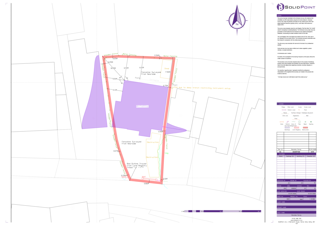
Their main objective was to gain a clearer understanding of the relationship between the existing boundary features, the Ordnance Survey mapping and the available title plans before continuing with the extension works.
Our Approach
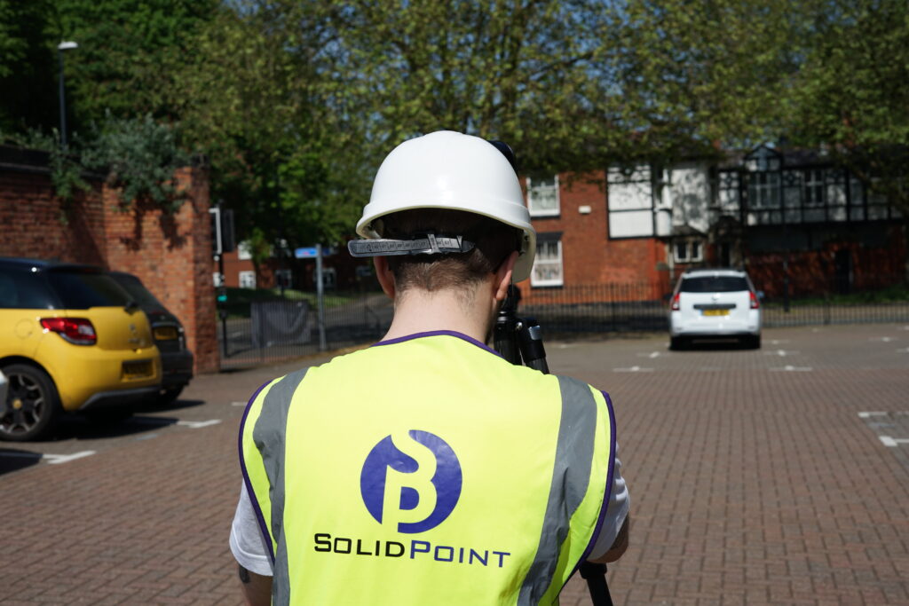
Our surveyor attended the residential property in Doveridge and carefully measured the physical features associated with the boundary.
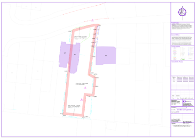
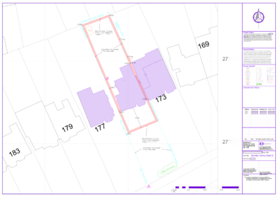
Once the site measurements had been completed, the collected survey data was processed in the office. The measured boundary features were drawn accurately and then compared with the available Ordnance Survey mapping and title plan information.
This overlay process enabled the different sources of information to be reviewed together rather than in isolation. It created a much clearer visual representation of how the measured site features related to the lines and dimensions being relied upon by the neighbouring property.
Project Outcome
The full process was completed efficiently, with approximately two hours spent carrying out the survey and a further three hours used to process the information and prepare the drawings. This provided the client with a focused response to the immediate boundary concern without creating unnecessary disruption at the property.
Project Deliverables
The completed information was presented through 2D CAD plans and drawing sheets. These deliverables gave the client a clear and permanent record that could be reviewed by the homeowner, designer, builder or professional adviser as required.
For more information on what you'll receive from a SolidPoint boundary survey, please click here.
How Did Our Client Benefit From a Boundary Survey?
For the price of £695, the client received:
1. Accurate Documentation of the Existing Boundary Features
One of the most valuable outcomes was the accurate documentation of the features that physically existed on site at the time of the survey.
Boundary discussions can easily become based on memory, assumptions or conflicting interpretations of plans - our survey provided a reliable basis from which to review the planned extension foundations.
This documentation could also be retained for future reference. Should the position of a fence or another feature change later, the survey drawings would provide a record of the conditions captured during the project.
2. Reduced Risk Before Installing the Extension Foundations
The second benefit was the opportunity to reduce uncertainty before construction work continued.
Foundations are a significant and disruptive part of an extension project. Discovering a potential boundary issue after excavation or construction has begun can lead to delays, redesign work, additional professional fees and further disagreement between neighbours.
By commissioning the boundary survey at this stage, the client gained better information about the relationship between the proposed works and the surrounding property features.
3. Clearer Evidence to Support the Boundary Discussion
The third benefit was the ability to review the neighbour’s evidence within a more complete and accurately measured drawing.
The neighbour had presented dimensions shown on an Ordnance Survey map. Without supporting site measurements, this type of information can be difficult for a homeowner to assess. It may look authoritative, but it does not necessarily explain how the mapped line relates to the physical structures and boundary features at the property.
By measuring the site and overlaying the mapping and title plan information, SolidPoint produced a clearer comparison. This allowed the client to see the neighbour’s evidence in context and understand whether the dimensions aligned with the features found on site.
This boundary survey in Doveridge provided a homeowner with clear, measured information at an important stage of their residential extension project.
With foundation work approaching and a neighbour presenting their own boundary drawings, the client needed an independent survey of the relevant site features.
SolidPoint attended the property, completed the required measurements in approximately 2 hours and processed the information into 2D CAD plans and drawing sheets over a further 3 hours.
Read our other Boundary projects:
Stay updated with us:
How Can SolidPoint Help Your Project?
At SolidPoint, we are passionate about providing accurate and efficiently collected data for our clients and have worked on numerous projects across the UK. If you are looking to commission a survey in your next project, please don’t hesitate to Get in touch with a member of our friendly team to discuss your requirements and get a free quote.
Alternatively, you can call us on 01332 898350 or email us at projects@solidpoint.co.uk for more information on our services. We look forward to hearing from you!
Give us a call on
Request a Free Quote






Trusted Suppliers for: